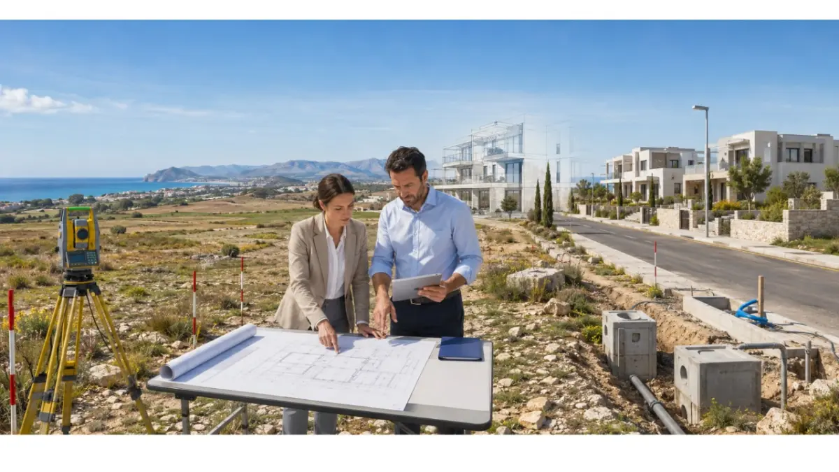
A plot's development potential depends on planning rules, legal access, infrastructure and site-specific conditions. These points should be checked before the concept, budget and purchase terms are finalised.
A search for building permits Cyprus should lead from land review to planning permission, technical approval, construction and registration. This guide covers areas controlled by the Republic of Cyprus.
What should a land and permit search establish?
First define the intended project: houses, apartments, a subdivision, offices, retail or mixed use. A plot may support one proposal but require another scale or layout for a different use.
Before treating land as suitable for development, confirm:
- the registered plot, boundaries and legal access;
- the planning zone, permitted use, density, coverage, floors, height and setbacks;
- roads, water, sewerage, electricity and connection costs;
- topography, drainage and ground conditions;
- coastal, environmental, archaeological or other site controls;
- any division, consolidation or road works.
What is the difference between planning and building permission?
Planning permission tests the proposal against the planning framework, including use, density, coverage, height, floors, layout and access. It records the planning conditions attached to the approval.
A building permit authorises the construction, demolition, extension, alteration, conversion, repair or change of use covered by the application. It focuses on detailed architectural, structural and services information. After planning permission, the owner applies through an authorised project designer to the relevant District Local Government Organisation via IPPODAMOS.
How does the development process work?
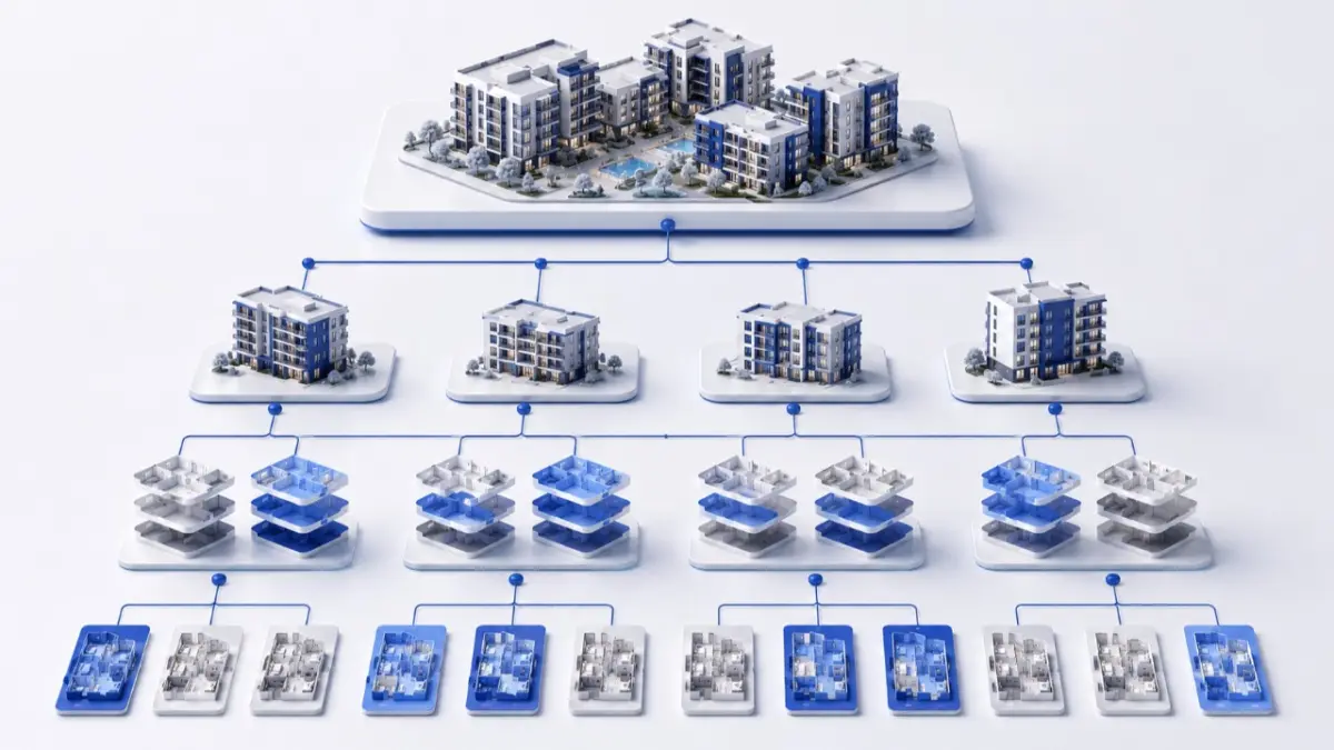
For Cyprus land development, the sequence should move from evidence about the land to a defined concept and then to detailed technical approval.
- Match the title and cadastral plan to the site; confirm boundaries, access and easements.
- Obtain the zone parameters and development-plan conditions.
- Check roads, utilities, drainage and connection routes.
- Commission a topographical survey and initial site studies.
- Ask an architect or planner to test the concept against verified parameters.
- Identify environmental, traffic or other specialist studies.
- Submit the planning application with the required documents and consultations.
- Incorporate the planning-permission conditions into the design and budget.
- Prepare the detailed technical package and submit the building application through IPPODAMOS.
- Build to the approved plans, complete inspections and obtain the applicable approval certificates.
- Submit the permits, cadastral material and approval documents required for DLS registration.
Which documents are needed at each stage?
Requirements vary with the location, use and scale. IPPODAMOS shows the documents for the selected application, and the authority may request further information.
- Before purchase: title data, cadastral plan, boundaries, zone, access and utility information.
- For planning: site plans, concept drawings, ownership and signature documents, professional appointments, applicable consents and specialist studies.
- For the building application: detailed architecture, structural design, services, drainage, energy, fire and accessibility material as required.
- At completion: approved plans, inspection records, as-built information and the applicable approval certificate.
- For registration: DLS forms, planning and building permits, approved cadastral plans and approval certificates.
How do zoning and infrastructure affect the concept?
Density controls permitted total floor area relative to the plot; coverage controls the share occupied at ground level. Floors, height, setbacks, parking and access further shape the layout, so plot area multiplied by density is only an initial calculation.
Confirm the road status and width, utility connection points, sewerage, drainage, service capacity and required upgrades. The concept should reflect both the planning envelope and the cost of making the site operational.
When may specialist studies be required?
The planning authority may require environmental, ecological, traffic, commercial, geological, drainage or feasibility studies according to the proposal and location.
Land near the coast, Natura 2000, an archaeological area or sensitive infrastructure needs early location-specific review. Confirming the route before full design helps align the concept, programme and budget.
How does the route differ by project type?
Small residential development
A small housing project needs verified title data, access, zone parameters, a survey, a planning concept and approvals. Subdivision, road works, utilities, drainage or archaeological consultation may also apply.
Mixed-use or commercial development
A mixed-use project adds checks for commercial use, traffic, parking, fire safety, accessibility, servicing, waste and utility capacity. A search for commercial property Cyprus also needs permitted use and the conditions attached to the property, not only location and floor area.
What affects the application timetable?
Timing depends on the application category, document completeness, design revisions, authority consultations and specialist studies. A published service target applies only to the category it covers.
Allow separate periods for checks, concept preparation, planning review, detailed design, building approval, construction, completion certification and DLS registration.
How can marketplace inventory support the search?
Cyprus property listings can identify location, plot area, asking price and disclosed site characteristics. Cyprus homes for sale can show the type and scale of completed housing in an area. These sources provide market context; title data, planning information, utility responses and professional studies confirm development potential.
Developer checklist before committing to land
- Define the intended use and development scale.
- Match the site to the title and cadastral information.
- Confirm access, zone and all development parameters.
- Check utilities, drainage, road works and connection costs.
- Identify specialist consultations and studies.
- Test a concept with an architect or planner.
- Record planning conditions in the design, budget and programme.
- Separate planning, building, completion and registration stages.
Move from a land search to a documented project review
Use current land inventory to compare district, plot size, price and disclosed planning information. For shortlisted sites, request the title and cadastral data, then have the intended project checked before finalising purchase terms and design assumptions.
Frequently asked questions
Do I need planning permission before a building permit in Cyprus?
Official guidance states that a town planning permit must first be obtained. The detailed building application then follows through the relevant District Local Government Organisation.
Who issues building permits in Cyprus?
The relevant District Local Government Organisation issues it. The owner applies electronically through IPPODAMOS using an authorised project designer.
What is IPPODAMOS?
IPPODAMOS is the electronic system for planning and building applications. It identifies documents required for the selected category.
How long does a building permit take?
There is no single period for every project. Timing depends on the procedure, document completeness, revisions, consultations and specialist studies.
Can agricultural land be developed?
Check the permitted use, density, coverage, access, development-plan policies and site-specific restrictions for the registered plot and proposed project.
What is the difference between density and coverage?
Density limits total floor area relative to plot area. Coverage limits the ground-level share occupied by buildings; other rules still shape the design.
Does a building permit create a title deed?
No. Construction must follow the approvals, complete the applicable certification stages and proceed through DLS registration before the register can be updated.
Can a property listing confirm that land is buildable?
A listing can present disclosed zone, area, access and utility information. Title and cadastral checks, official planning information, authority responses and professional analysis confirm development potential.
Author
This material was written by Maria Vashchenko.
For questions, collaboration, or further discussion, feel free to contact me on LinkedIn.